Soil core sampling completed

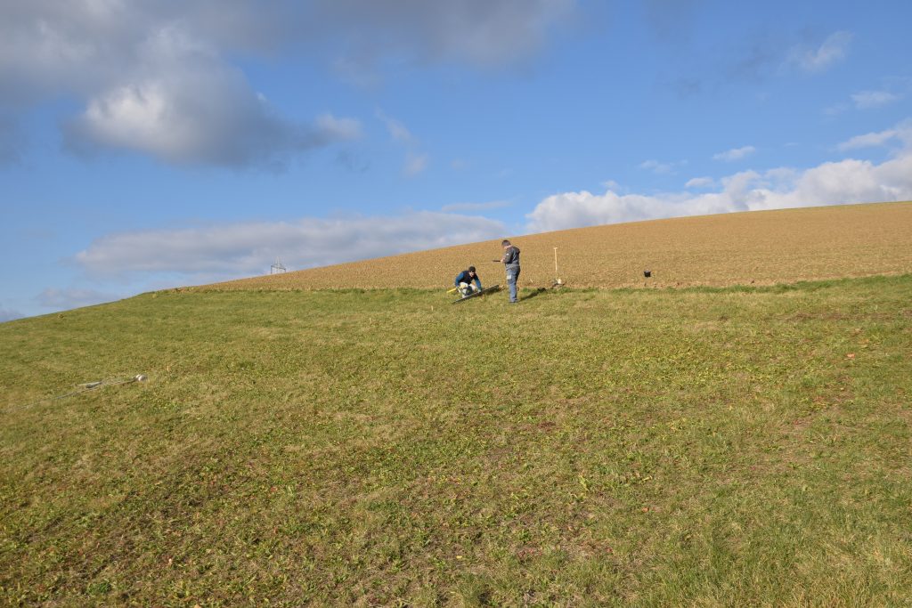
In addition to the two sites that were sampled last year, we took further soil core samples at six sites across Western Lower Austria. For the additional sites we used an adapted sampling array, focussing on samples from within the area of concentrated runoff (and erosion) and outside. A convergence of the flow, e.g. due to topography (thalweg), tillage, or other factors, is rather the norm than the exception, causing a concentration of runoff and erosion—coupled with nutrients and other pollutants. With the data from the soil cores, we aim at a better understanding of nutrient retention processes in real-life buffer strip soils and, eventually, improved planning and design recommendations for buffers that are truly effective in protecting surface water from agricultural inputs.

Samples were taken along transects from the field to the buffer strip following the hill slope. (C) BAW-IKT / Ramler
Factors like topography or tillage often cause a concentration of runoff water. (C) BAW-IKT / Ramler
Samples were taken to a depth of 50 cm. (C) BAW-IKT / Ramler

First results from field and buffer soil cores

The results from the soil cores of the first sampling site are back from the laboratories and show some interesting trends and gradients along all three dimensions. Final results will be available next year, after the sampling and analysis is complete, however, preliminary results suggest that P levels are substantially lower in buffer strips throughout all P pools. Especially, deeper layers appear to not only have a higher capacity for P uptake (sorption) but also a lesser degree of P saturation, highlighting the potential of these sub-surface areas for P retention and the importance of infiltration and, thus, the often-neglected vertical dimension.

Soil cores were taken from field and buffer strip soils. (C) BAW-IKT / Ramler
Soil samples were divided into depth classes and analyzed for various physical and chemical parameters in the lab. (C) BAW-IKT / Ramler

Soil core sampling started

In November, we started with the soil sampling for work package 2. For the first two sites, we have chosen an intensive sampling scheme, using soil cores along transects from the field to the buffer strip, as well as inside and outside of the area of concentrated runoff. Together with samples from different depth classes from the soil cores, we get a 3D representation of the field and buffer strip. This labour-intensive approach is rarely seen in buffer strip research, although it provides high quality data and ample opportunities for in-depth analyses. The samples will then be analysed for various physical and chemical parameters, with a focus on phosphorus (e.g. different P pools, degree of P saturation, P sorption index). Further sites will get sampled next year.

Grassed strips between fields and surface waters act as buffers and retain sediment and nutrients. (C) BAW-IKT / Ramler
Agricultural areas can export substantial amounts of sediment – and nutrients – after heavy rainfall events. (C) BAW-IKT / Ramler